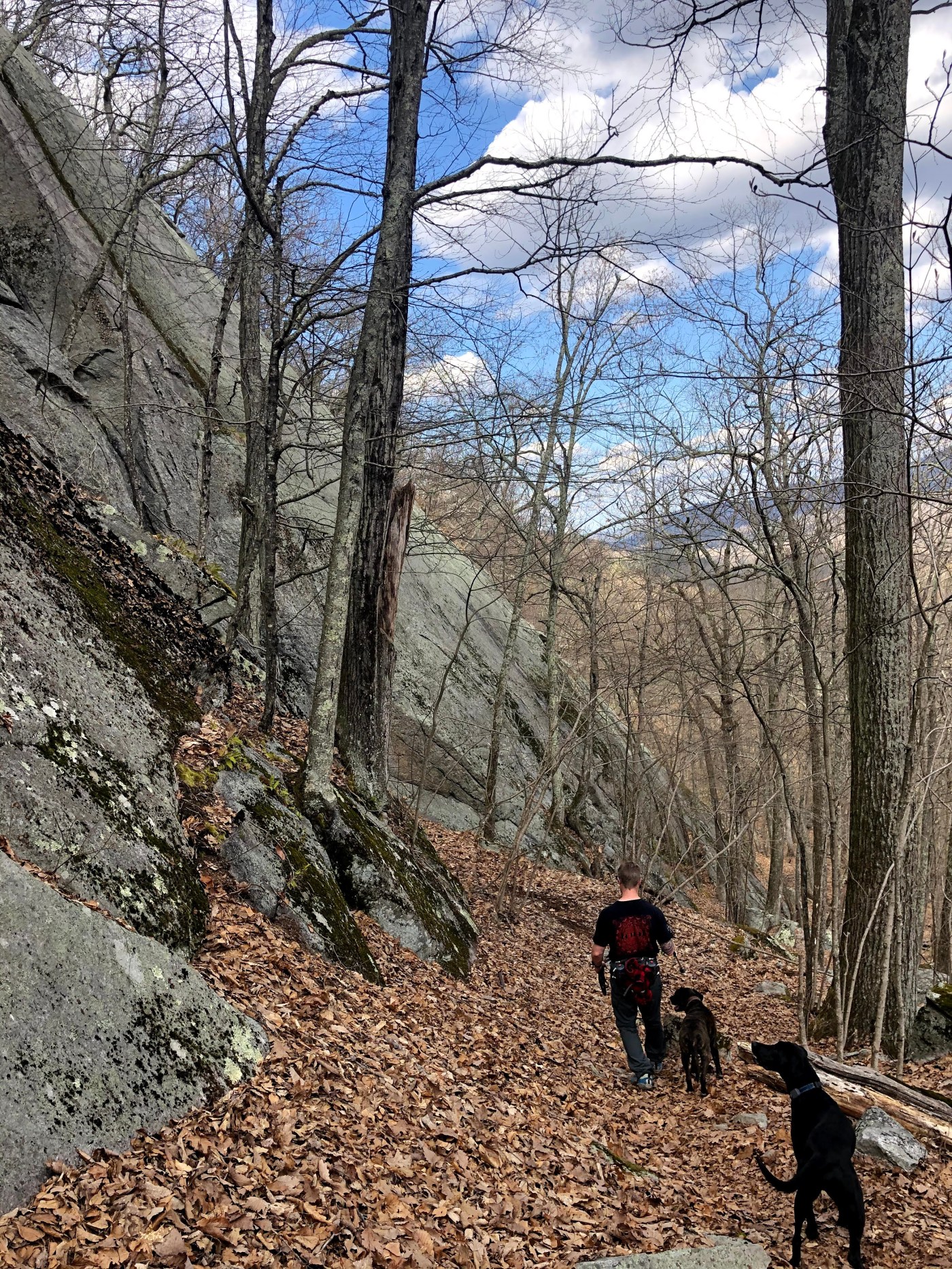
⁉️ Did you know: The Appalachian Trail is the longest (at 2,193 miles) hiking-only footpath in the whole world?! It goes from Georgia to Maine (or MA to GA) and ~51 miles of it runs thru the northwest corner of CT! Lucky us.
🗺 We split the 51 miles into 7 hikes. The legs range from under 5 miles to 11 miles. I am sure there are other ways to break up the 51 miles and it would be fun to try it again next year a different way.
🚗 🚙 You will need two cars for each leg, with one at the start and one at finish, unless you hike in and hike out, doubling your distance. To me, that does not always equate to double the fun..👀
Find the links to each leg on All Trails below, in order from start to finish. Hope you enjoy! And feel free to ask any questions..love talking about hiking 😍 Happy Trails… 🥾 🐾 ⛰
- Hoyt Road to Bull’s Bridge
- Bull’s Bridge to Macedonia Rd
- Macedonia Rd to River Rd
- River Road to Pine Knob Loop Trail
- Pine Knob to Sharon Mountain to Rt 7
- Route 7 to 44 in Salisbury
- Rt 44 to Bear Mountain ⛰

I would love to do this count me in!!
LikeLike
Going to come back to this next year, thanks for putting the trails together. Makes it easy peasy to get it done.
LikeLike